


City of Temiskaming Shores Recreation Guide
Wondering what Temiskaming Shores has to offer? Need to know which groups and organizations are running events?
Wondering where our parks are located? That and so much more is in available our Community Recreation Guide! Click the image below to view the complete recreation guide or pickup a copy yourself from one of the many locations around the city. Printed copies are available at:

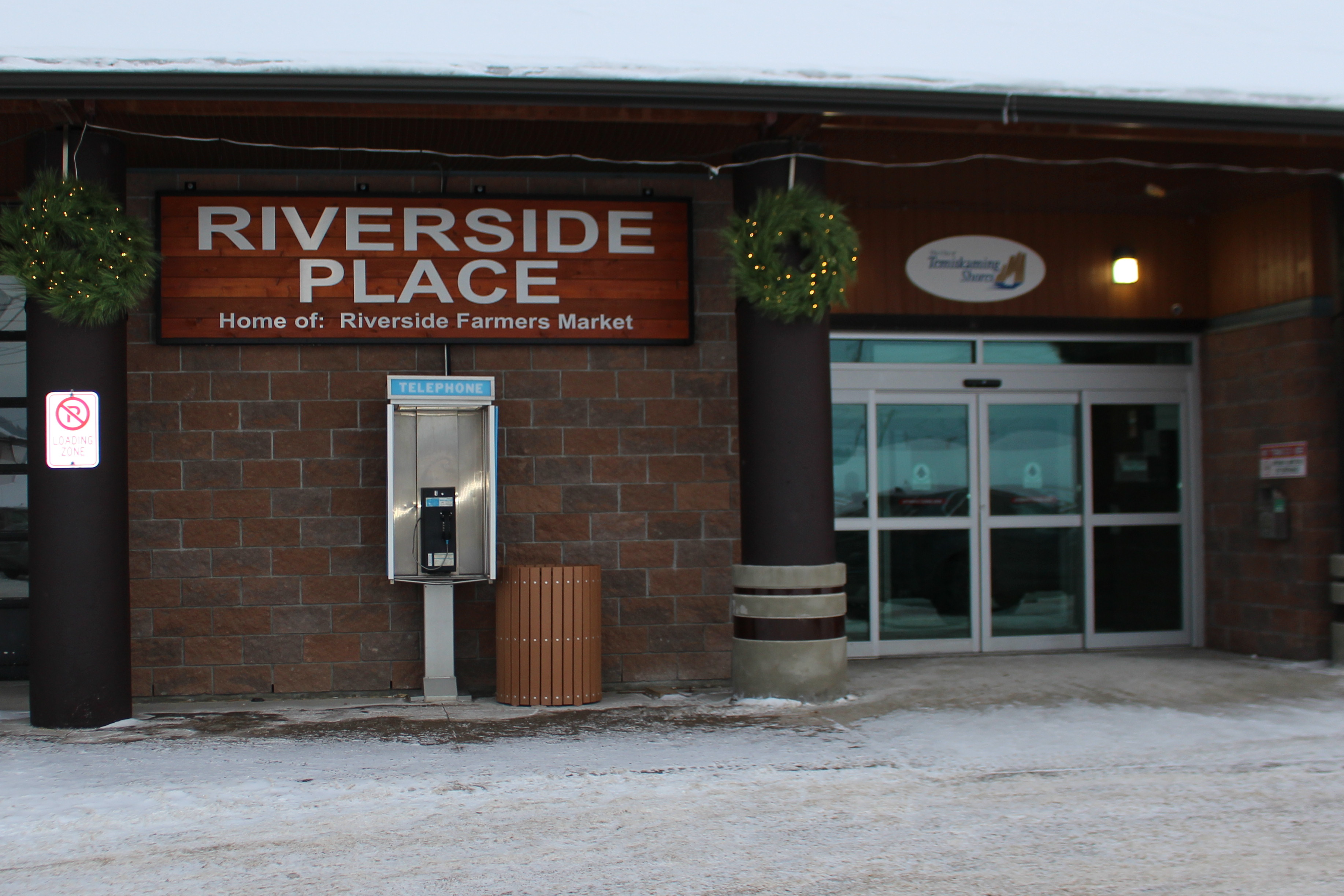
- Temiskaming Shores City Hall
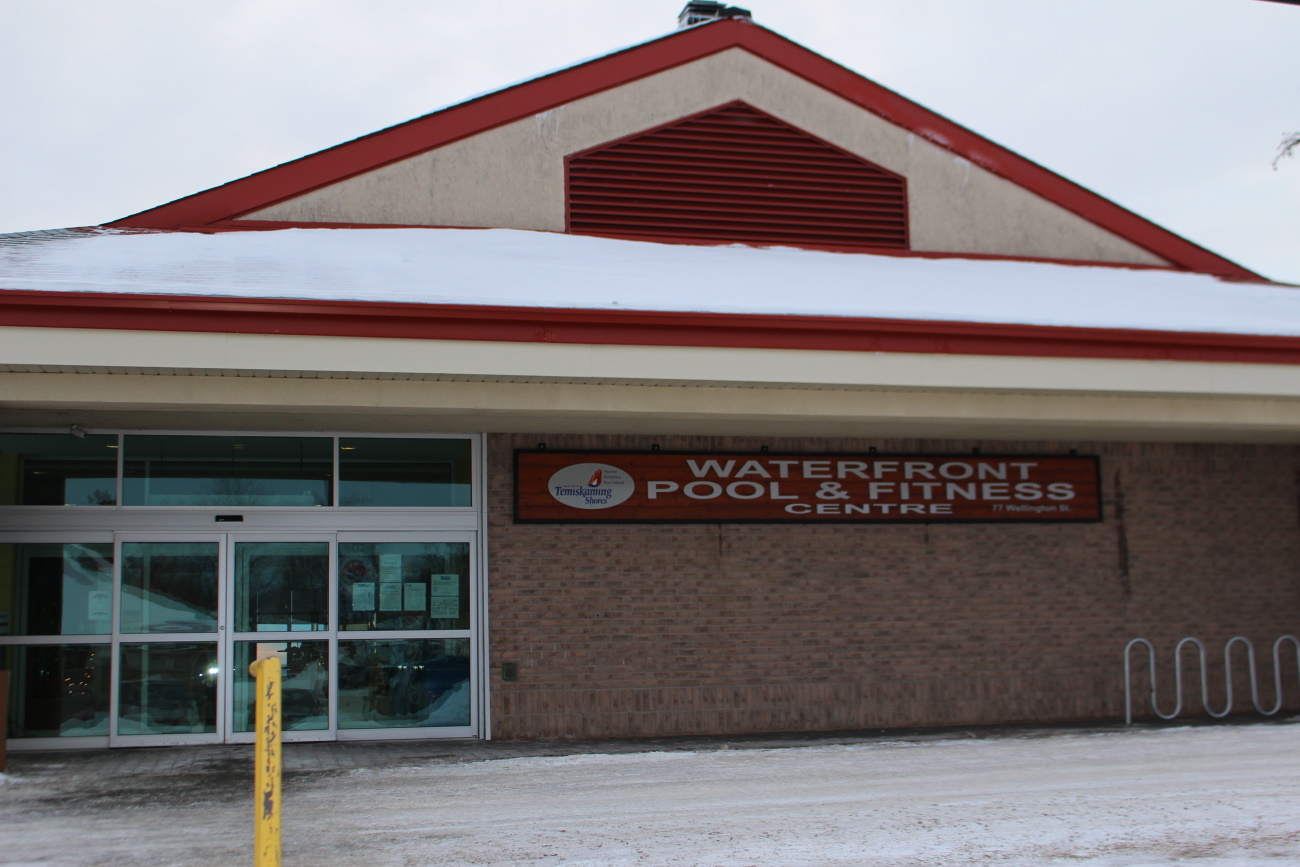
- Waterfront Pool and Fitness Centre
- Temiskaming Shores and Area Chamber of Commerce
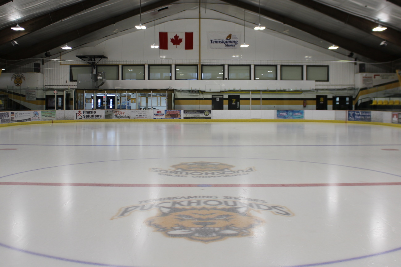
- Don Shepherdson Memorial Arena
- Shelley Herbert-Shea Memorial Arena
- Temiskaming Shores Public Library
To view or print a copy of the current Recreation Guide view the links below.
Temiskaming Shores Recreation Guide - Summer
Temiskaming Shores Recreation Guide - Winter
Temiskaming Shores Recreation Master Plan
The Recreation Master Plan for the City of Temiskaming Shores pulls together all aspects of sports and recreation within the City and provides guidance on how to best provide recreation services to the community. The creation of the plan began in October 2019 and culminated with its adoption by council in September 2020. Pulling together unprecedented community engagement and consultation this is truly a made in Temiskaming Shores document.
To view or print a copy of the Recreation Master Plan view the link below.
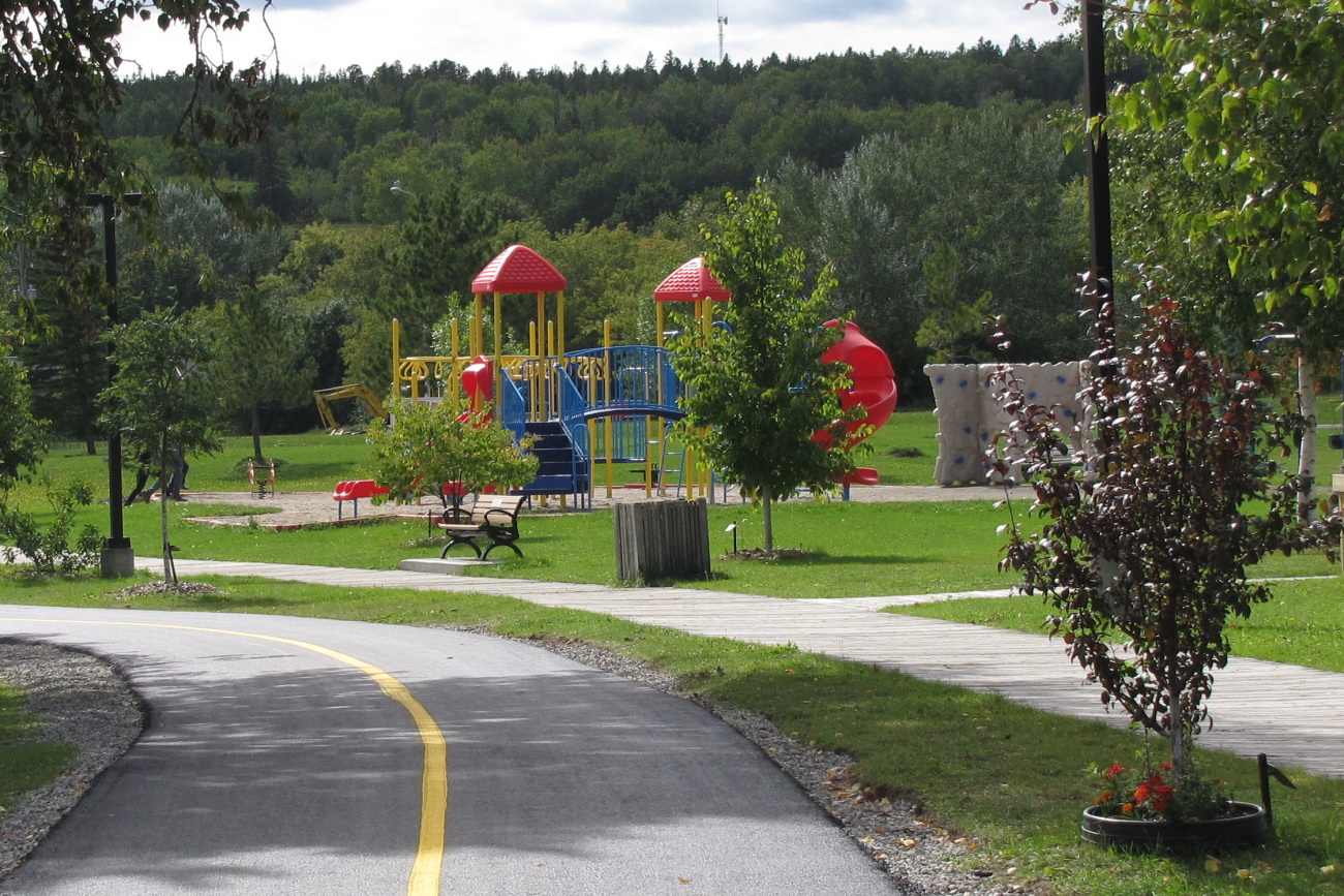
Parks and Playgrounds
Community Parks |
|
the urban cores live within a ten minute walk from a park with amenities. Larger play structures and amenities are located on the New Liskeard and Haileybury waterfronts where great views of Lake Temiskaming combine with amazing recreation amenities for all ages. Many of our playgrounds have been updated recently with CSA approved equipment and soft rubber surfacing. Get out today and see just what Temiskaming Shores has to offer you! North Cobalt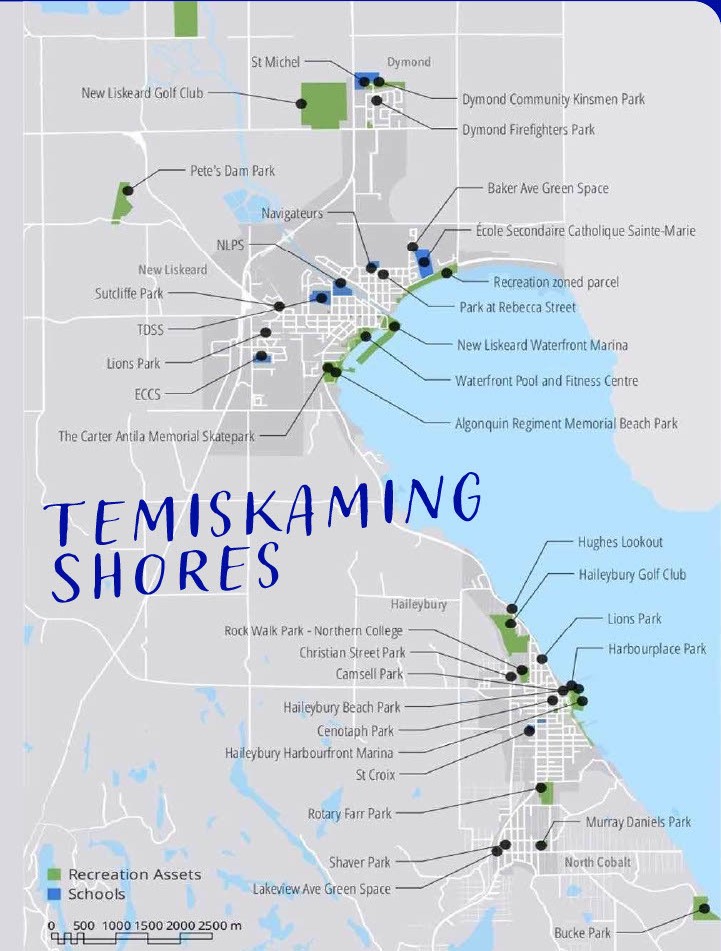
Haileybury
New Liskeard
Dymond
|
Temiskaming Shores Rotary Splash Pad |
Closed for the 2024 Season | September 23, 2024Open for the 2024 Season | May 31, 2024
Location | New Liskeard Waterfront Open Daily | 9:00am to 8:00pm Please note that the park is unsupervised, use is at your own risk. To activate the water just push one of the two activator buttons located on the pad. Rules
BackgroundThe Temiskaming Shores and Area Rotary Club partnered with the City of Temiskaming Shores in 2017 to develop a splash pad within the community. A site on the New Liskeard Waterfront next to the Spurline Building was selected as the preferred location for the project. This area is already a popular summer recreation spot and will only serve to supplement the amenities already available. Thanks to our many funders who have helped to make this project a reality. Over $100,000 from the Temiskaming Shores and Area Rotary Club, the City of Temiskaming Shores and the Ontario Trillium and over $50,000 from the Frog’s Breath Foundation and One Foot Forward. |
One Foot Forward Splash Zone |
Closed for the 2024 Season | September 23, 2024Open for the 2024 Season | May 31, 2024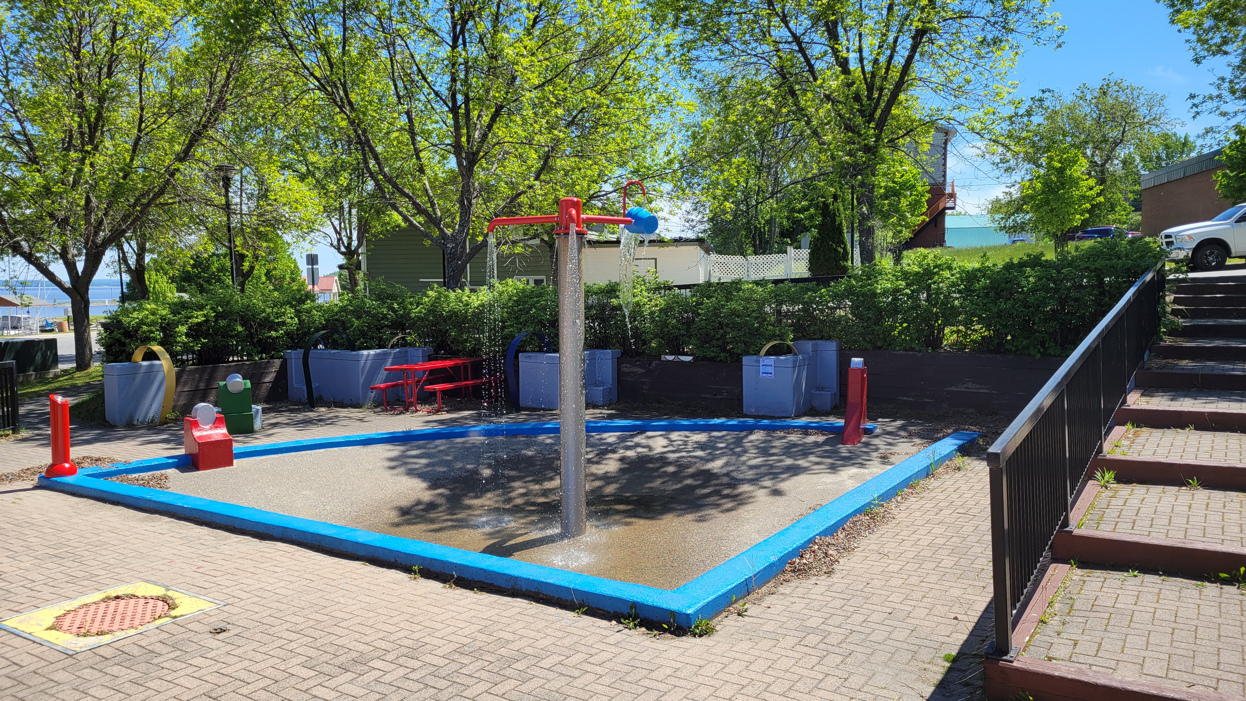
Location | Haileybury Waterfront Open Daily | 9:00am to 8:00pm Please note that the park is unsupervised, use is at your own risk. To activate the water just push the button on the red pedestal located on the pad. It will automatically turn off after 5 minutes. BackgroundFormerly the Haileybury Mushroom refurbished into this new spray feature. This refurbishment was required to ensure it met current pool regulations and was made possible by a $20,000 donation from One Foot Forward. |
Haileybury Beach |
|
New Swim Admission Policy effective June 27, 2024 at both the Haileybury Beach and the Waterfront Pool and Fitness Centre. View or print a copy of the below Swim Admission Policy. Swim Admission Policy Politique d'admission a la piscine Unsupervised Swimming Beginning| August 19, 2024 Open with Lifeguards for the 2024 season | June 27, 2024
The Haileybury Beach located in downtown Haileybury is a completely enclosed, sand beach, with treated water, large waterslide, changerooms and is staffed by lifeguards 7 days per week throughout the season. The beach is typically open from mid-June to the end of August and this one-of-a-kind place is a great spot to cool off during the hot summer months. Enjoy beautiful Lake Temiskaming. The Haileybury beach is approximately 100 meters square and is supervised during the summer months. It features a 150-foot waterslide, a water fountain, and a water umbrella to be enjoyed by children and adults alike.  |
New Liskeard Beach |
|
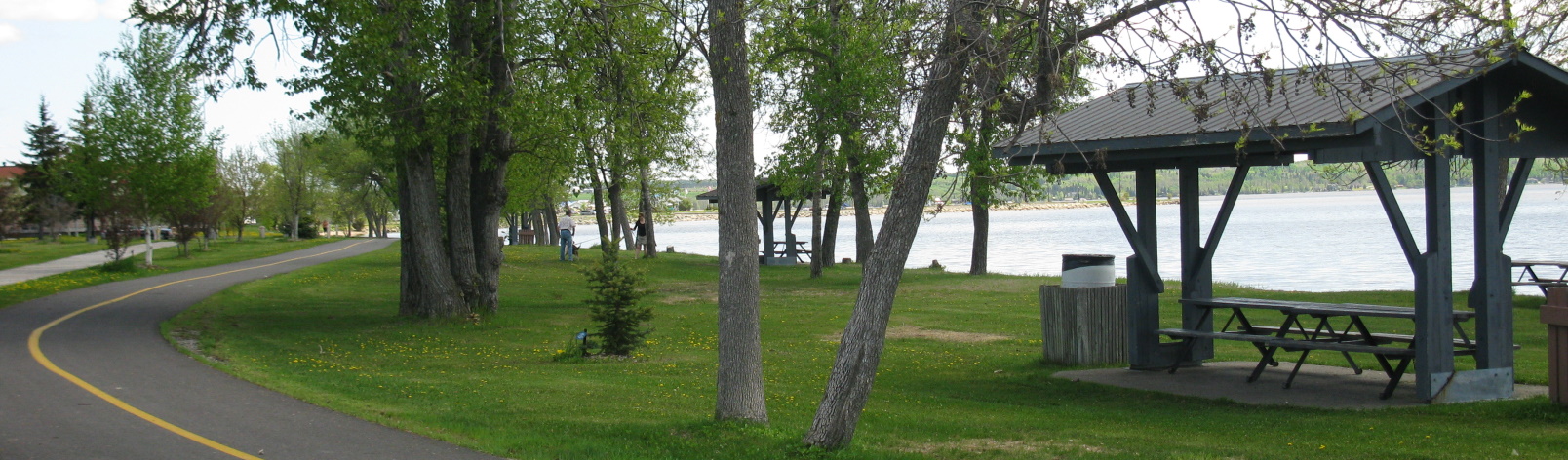
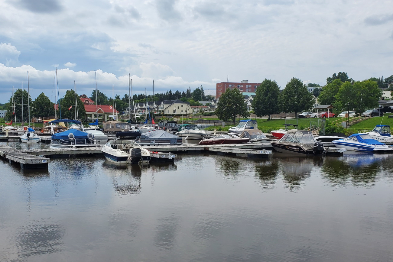
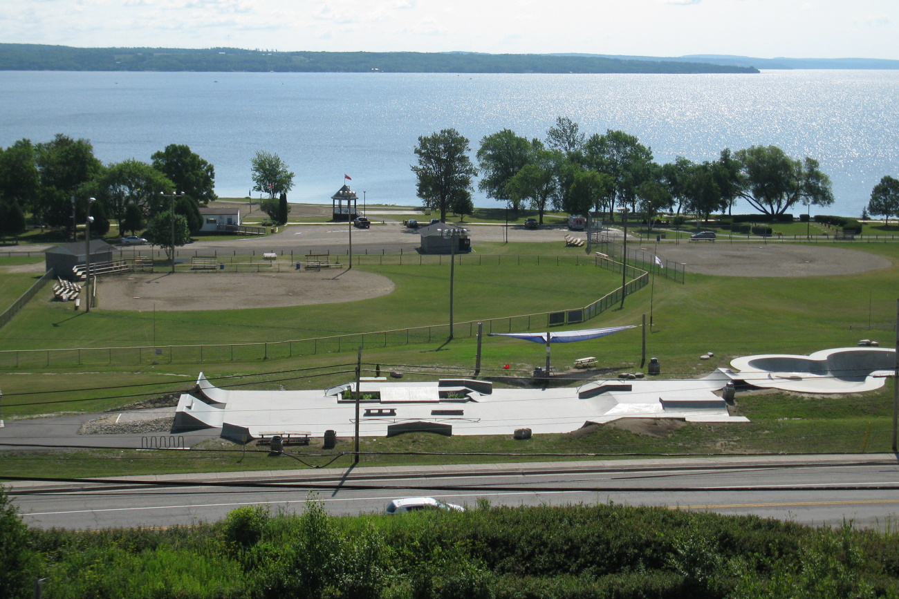
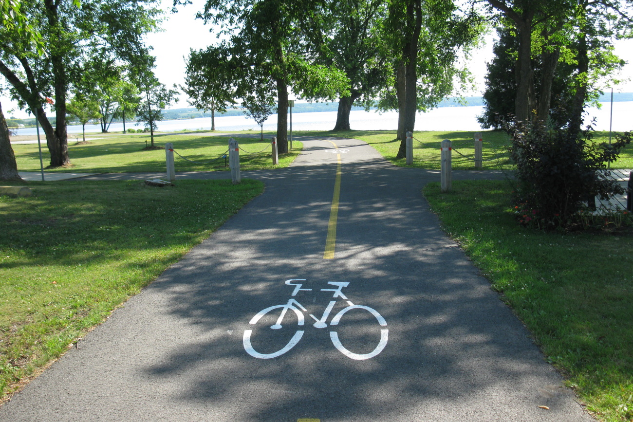
Located in New Liskeard is a 0.5 km stretch of sandy beach along Lake Temiskaming's north-west shore. This unsupervised beach is perfect to stop by for a quick dip before enjoying the many amenities located nearby. Enjoy a walk, a swim, a picnic; enjoy the playground, the tennis courts, the basketball nets and more. The beach in New Liskeard is located on the shore of Lake Temiskaming. For leisure, this waterfront offers a mile-long beach and boardwalk, walking and bicycle path, beach volleyball courts, basketball courts, baseball fields and public tennis courts. The New Liskeard Waterfront Marina is located at the mouth of the Wabi Bay on Lake Temiskaming. This full service marina has 106 slips, 80 with hydro and water. |
 The City of Temiskaming Shores has a wide variety of parks of all shapes, sizes and locations. Most residents within
Trails
Pete's Dam Park |
Temporary Closure - December 31, 2025Pete's Dam Interactive Mapping 
Location | Highway 65 West, New Liskeard In the spring of 1906, Kalil (Big Pete) Farah embarked upon a project to build a steam power plant that would supply the Town of New Liskeard. Big Pete bought the power site at Chester Falls from Tom Chester and a dam was built above these falls on the south branch of the Wabi River. In 1910, Farah sold Pete's Dam and its assets to the Northern Ontario Light and Power Company. New Liskeard then received its power from the line that linked them to Cobalt, its Neighbour to the south. The power plant went out of service in the 1920's and was sold to the Hydro Electric Power Commission of Ontario. In 1981, Dymond Township bought the property and it is now known as Pete's Dam Park. The little electric plant no longer exists but the beauty of the waterfall and rapids draws many locals and visitors for picnicking and hiking. The park boasts an easy 2.4 km hike along the river with many amazing views. A picnic shelter and parking lot are available at the trailhead off Pete's Dam Road. Pete's Dam Park is located within the City of Temiskaming Shores approximately an 8 minute drive from downtown New Liskeard. ArticlesPete's Dam Park Bridge Repair ProjectWork Completed as of November 23, 2024
|
Devil's Rock (Mani-doo Aja-Bikong) Trail |
Devil's Rock Interactive Mapping
The Devils Rock Trail system is an easy 2 km hike from Highway 567 or a very scenic 3 km climb from Bucke Park. Trails lead to the breathtaking view of Lake Temiskaming! After hiking the safe and scenic route, enjoy the 180 degree vista of Lake Temiskaming from atop the towering cliff. Devil's Rock is a fault cliff dated to 2.2 billion years. It has a face of 600 feet rising 300 feet above the water level. Interesting features are the scars of mining tunnels chiseled during the silver rush era. Please use caution while on the trail and at the vista. Devil's Rock Trail is an 11 minutes drive from downtown Haileybury. ArticlesOrganic Road Map
|
Nastawagan Trails |
|
Email | hikers@nastawgantrails.org A non-profit organization that promotes hiking and hiking trails in the Temiskaming region. They provide information on area trails through their social media and website. You and the family can find detailed maps linked on their website! Twin Lakes TrailsWhen hiking this trail you will be sharing the trails with ATV's and Snowmobiles. There are several access points off of the Twin Lakes Road. These trails are less travelled and subject to varied trail conditions |
Rockwalk Park |
|
Location| 640 Latchford Street, Haileybury ON Rockwalk Park Inc members would like the community to know that their “Geological Museum”, located on the grounds of Northern College, Haileybury Campus, is open to all as a free recreational and educational site for the local public and tourists as well. Initiated as a Millennium project, the Museum now hosts almost 200 massive geological displays. (There are additional displays within the Foyer of the Northern College building itself.) In 2022, the geological education experience was enhanced with new signage that includes QR Coding. With QR apps available on most smart phones, the visitor can now have a French/English “personal guide” on their tour. Seek Rockwalk Park on Facebook for additional videos and educational features. The wide interlocking brick pathway allows for wheelchair access past every exhibit. Also included is an Arboretum with signage that identifies the trees that are typical of our region. The full circuit is just under 1 km in length through the 2 ha. outdoor facility. Internet connection at: As a charitable organization, Rockwalk Park INC is now in the development stage of the Temiskaming Rift Valley Aspiring Geopark (TRVAG). For more information view our initial website at Temiskaming Rift Valley Aspiring Geopark – Celebrating Our Geological Heritage – Enriching Our Communities and make contact with us there. TRVAG is actively seeking your support! |
Memorial Benches and Trees
About |
|
The City of Temiskaming Shores offers the public a chance to place Memorial Benches and Trees within greenspaces around the municipality. Leave a lasting memory of a loved one by having a bench installed or a tree planted in their name. This is a great way to make a low-cost, lasting impact to our community. Full details on the program are explained within By-Law 2023-140. Fee includes the bench or tree, plaque, engraving, shipping, installation and applicable taxes. The cost for a memorial bench is $2,000.00. The cost for a memorial tree is $500.00. If you're interested in purchasing a bench or tree please fill out and return the application form. Applications are accepted from January 1st to April 15th each year. By-Law 2023-140 - Memorial Bench and Tree Policy |
Let's Talk
 Subscribe to this page